Maps
About the Maps collection
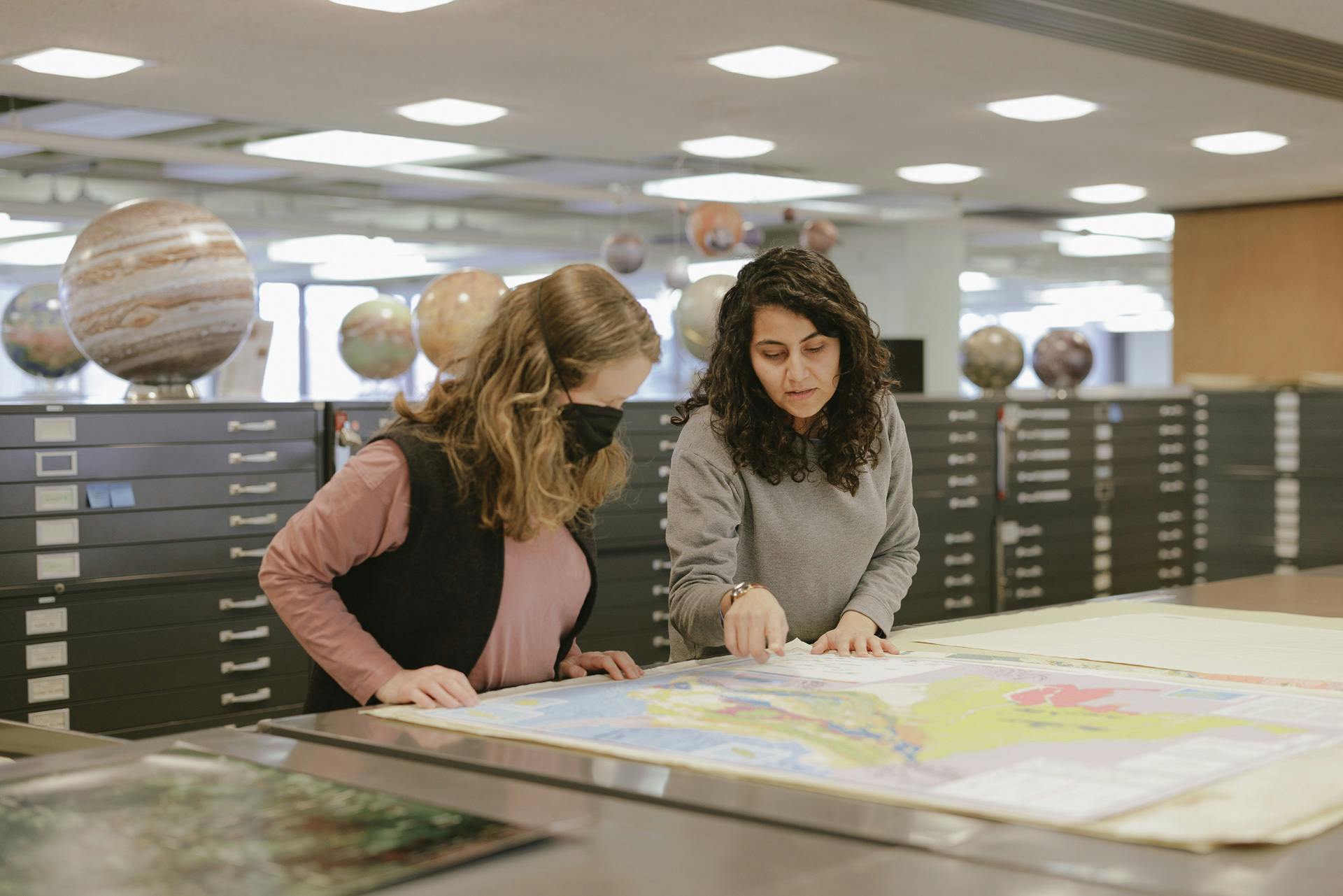
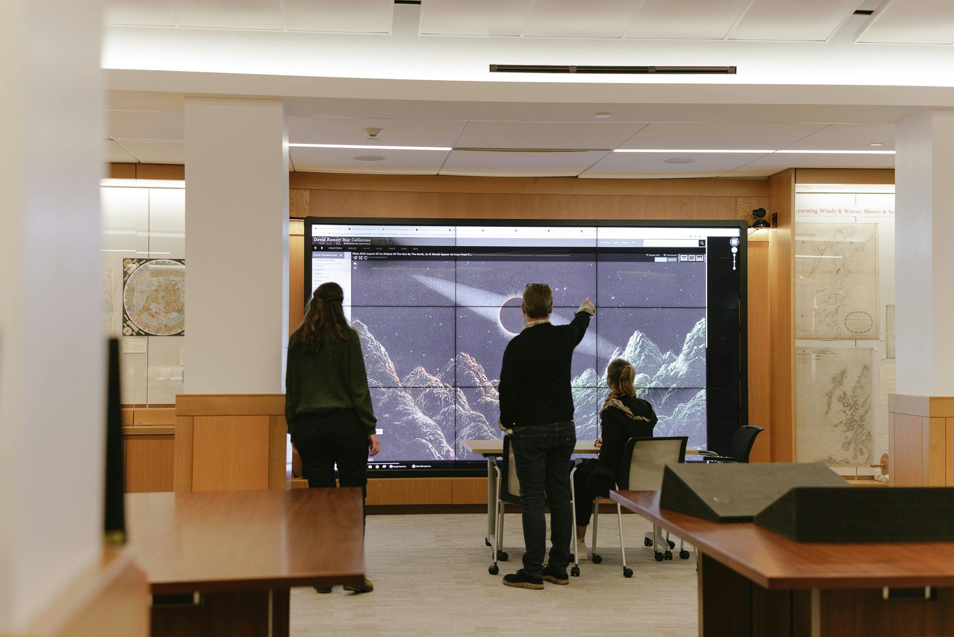
Our map collections include a large number of historical and contemporary maps, globes, and atlases. The majority of circulating maps are available at the Branner Earth Sciences Library or can be requested from off-site storage. A unique collection of historic maps and other cartographic objects can be viewed by request in the David Rumsey Map Center reading room, the premiere historical cartographic collection on the West Coast. High resolution digital copies of many maps are accessible through SearchWorks. Map librarians at various branches provide consultations and support for researchers and classes.
Featured collections
Office of Strategic Services Maps
Go to the exhibitThe Office of Strategic Services was formed in June 1942 in response to the entry of the United States into World War II. This brought together a number of experts, many from academia, including a large number of cartographers. The best estimate is that 5,753 unique maps were produced, of which Stanford Libraries holds over eight hundred.
The Glen McLaughlin Map Collection of California as an Island
View the collectionThis is a collection of nearly 750 maps depicting California as an island, obtained by Glen McLaughlin over nearly forty years of collecting. Included in the collection are hemisphere and world maps, celestial charts, title pages, globe gores, and a medal. The dates range from 1622 to the mid-1800s.
Caroline Batchelor Map Collection
View the collectionThis collection of maps, and a few prints and books, focuses on depictions of the continent of Africa as well as detailed maps of different regions and countries on the continent. The maps range in date from 1550 to approximately 1800.


